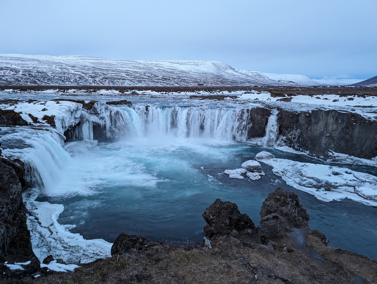
The Fimmvörðuháls trail runs 25km between Þórsmörk (in the Þórsmörk valley) and Skógafoss waterfall on Iceland’s South Coast, crossing the mountain pass between Eyjafjallajökull and Mýrdalsjökull glaciers at approximately 1,000m altitude. It can be hiked as a serious day hike or split across 2 days using the huts at the pass.
The trail passed through the active lava field of the 2010 Eyjafjallajökull eruption - two craters formed during the eruption are visible from the path, still relatively young in geological terms.
Trail Overview
Starting point: Skógafoss waterfall (car park and camping available) or Þórsmörk (accessible by 4WD or Highland Bus) End point: Whichever end you didn’t start at Distance: Approximately 25km Elevation: Climbs from sea level at Skógafoss to approximately 1,000m at the pass, then drops to approximately 200m at Þórsmörk
Direction recommendation: Starting at Skógafoss means the hardest section (the climb) is first, when you’re fresh. Starting at Þórsmörk means the dramatic Skógafoss descent as a finale.
The Route
Skógafoss to Pass (12km)
The trail begins at the base of Skógafoss waterfall. The first section climbs steeply alongside the waterfall and continuing waterfalls up the Skógar river - this section alone is remarkable, passing more than 20 cascades in rapid succession. At the top of the falls (approximately 200m), the terrain opens into tundra and the first views toward the glaciers.
Above approximately 600m, the trail enters the glacier edge zone. Snow patches persist year-round; crampons or microspikes may be needed early season or in poor conditions.
The 2010 Eyjafjallajökull eruption craters (Magni and Móðir) are near the highest point of the pass. Fresh lava from 2010 - bright red-orange and still geologically recent - is visible on the crater slopes.
Mountain huts at the pass: Baldvinsskáli (lower hut, approximately 600m) and Fimmvörðuskálar (upper hut, approximately 1,100m). The FÍ huts can be booked at fi.is. Approximately ISK 8,900 per person per night sleeping bag accommodation.
Pass to Þórsmörk (13km)
The descent from the pass into Þórsmörk is dramatic. The landscape shifts from exposed glacial terrain to birch woodland as you descend into the sheltered valley. The final approach to the Þórsmörk huts crosses several rivers and passes through increasingly lush terrain.
What to Know Before Going
Weather: The pass is exposed. Fog, rain, and strong wind can develop rapidly regardless of starting conditions. Check vedur.is before heading out and have emergency contacts and a route plan.
Season: Mid-June through mid-September. The pass can have snow year-round. Outside this season the huts are closed and the trail is unsafe without winter mountaineering experience.
Water: Glacial streams throughout the route provide water. Filter or purify before drinking (despite Iceland’s clean image, giardia from upstream grazing sheep is a possibility).
Emergency hut: There is an emergency hut at the top of the pass for shelter in deteriorating conditions. Mark its location on your map before setting off.
Getting There
To Skógafoss: On Route 1, 32km west of Vík. Strætó route 51 stops here. Car park and camping.
To/From Þórsmörk: Highland Bus (re.is, trex.is) from Reykjavík or Selfoss. 4WD access via Route F249 with river crossings.
Book Laugavegur trek options - guided and self-guided packages with luggage transfers available.
Get travel insurance for Iceland - policies covering glacier hikes, F-road driving, and volcanic disruption.
Compare car hire in Iceland - a 4WD or campervan gives the flexibility to explore at your own pace.
Guided Day Hike Option
Guided day tours from Reykjavík typically hike from Skógafoss up to the 2010 eruption craters and back — approximately half the full trail, but covering the most dramatic terrain. Cost approximately ISK 19,900–26,000 per person including transport from Reykjavík. A good option for those not confident in mountain navigation or weather reading.
The logistics of a one-way through-hike require advance planning: you need transport at both ends (Skógafoss and Þórsmörk are not connected by direct bus). One solution — hike from Skógafoss to the pass huts on day one, stay overnight at Fimmvörðuskálar, then descend to Þórsmörk and return by Highland Bus on day two. Book huts at fi.is well ahead.
Related Guides
- Laugavegur trail - The route that connects at Þórsmörk: the full 4-day highland trek from Landmannalaugar
- Þórsmörk valley hikes - Day hikes around Þórsmörk valley, the southern end of Fimmvörðuháls
- Vík travel guide - The South Coast town closest to the Skógafoss trailhead end of the route
- Iceland highlands guide - The wider highland region: access, F-roads, and what to expect in the interior
- South Coast drive - Skógafoss sits on this route - visit the waterfall trailhead while driving the South Coast
For accommodation before and after the trek, Search hotels in Iceland on Booking.com.